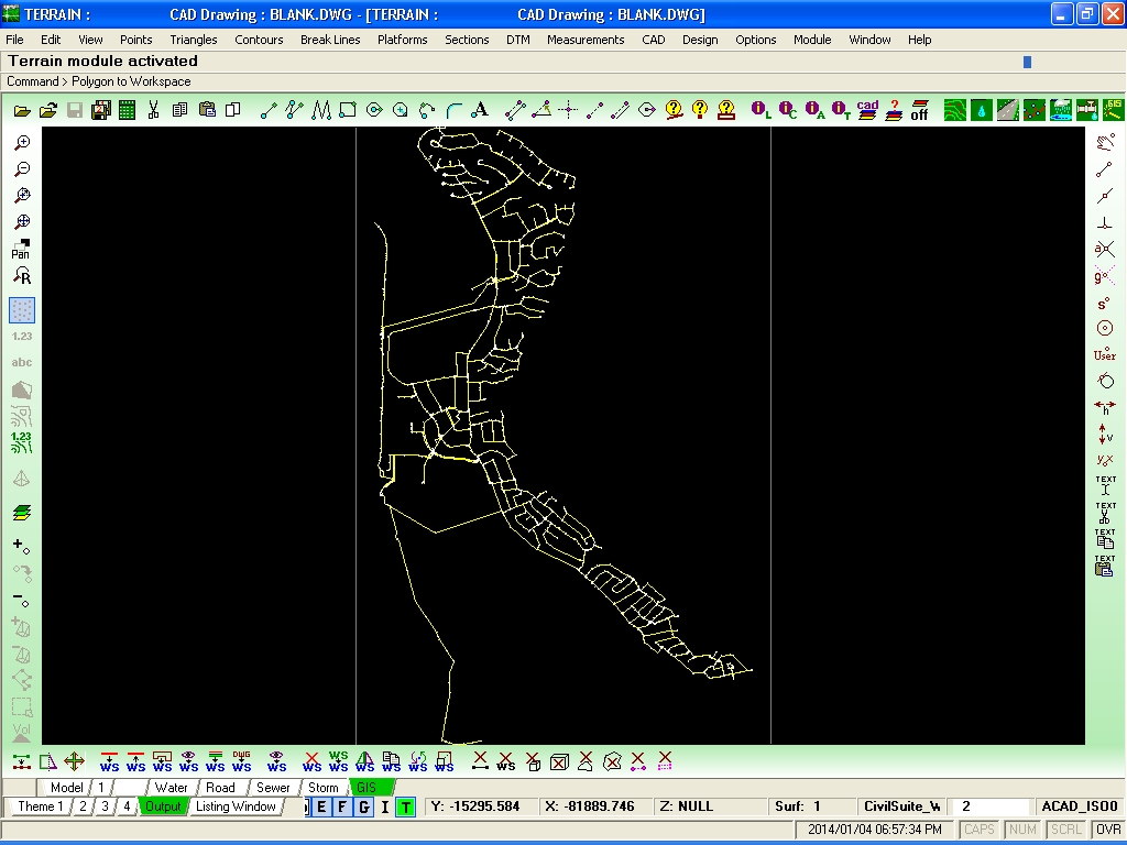
CAD lines to be
converted to water model

Generating water
model from the visible CAD lines

Overlaying aerial
photography image onto water model

Editing junctions
(nodes)
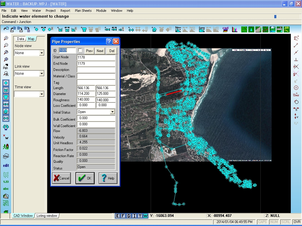
Editing pipes
(links)

Extracting junction
elevations from Terrain model
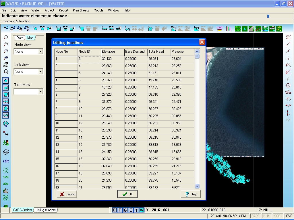
Editing junction
data in tabular fashion
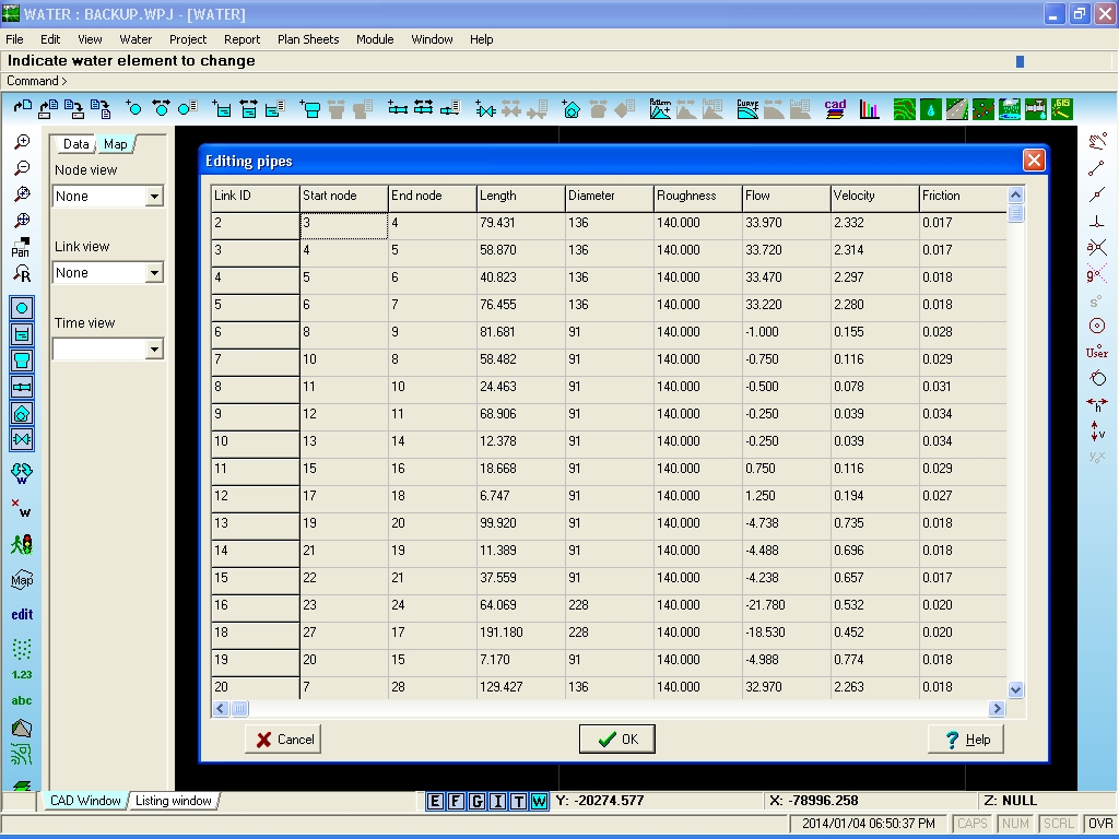
Editing pipe data
in tabular fashion

Setting analysis
defaults

Setting analysis
options

Pre-viewing
junction results

Viewing junction
results

Viewing pipe results

Summary of water
network by element

Colour coding pipe
diameters

CAD drawing
generated from water network
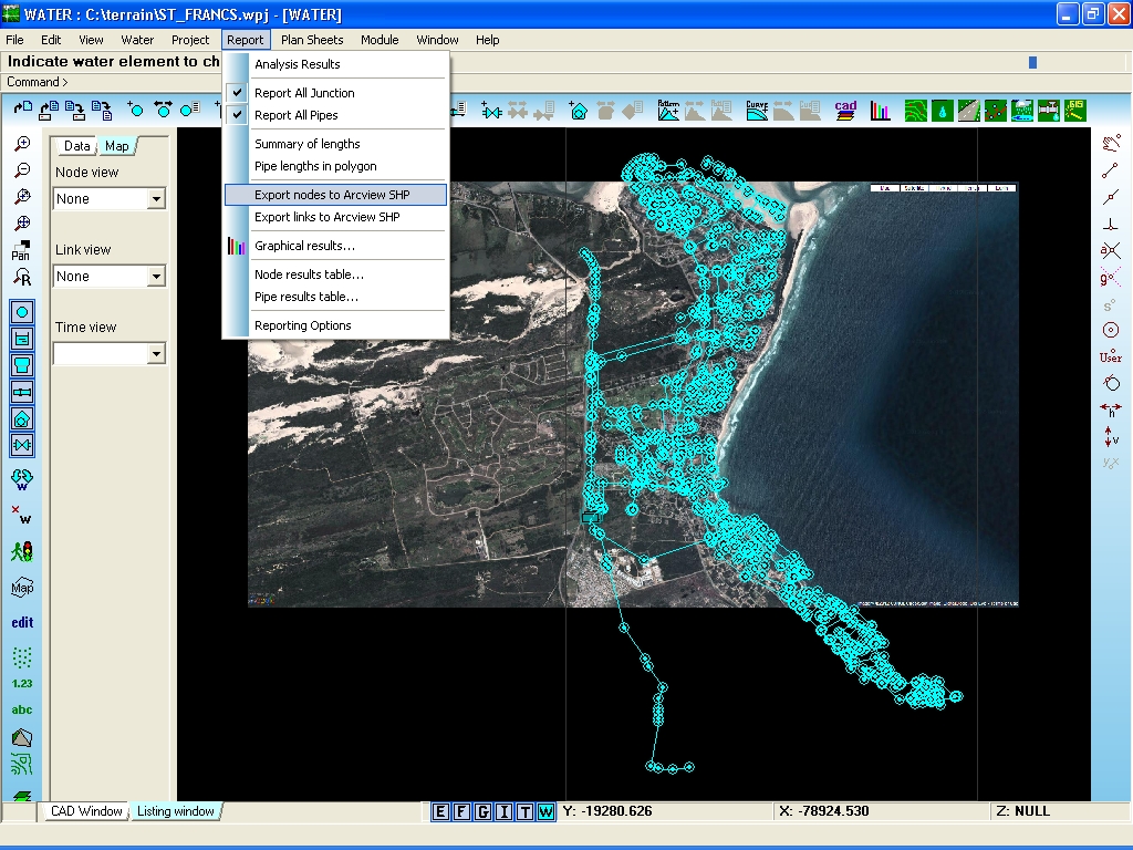
Exporting nodes to
GIS Arcview Shape file

Water model as
exported to GIS
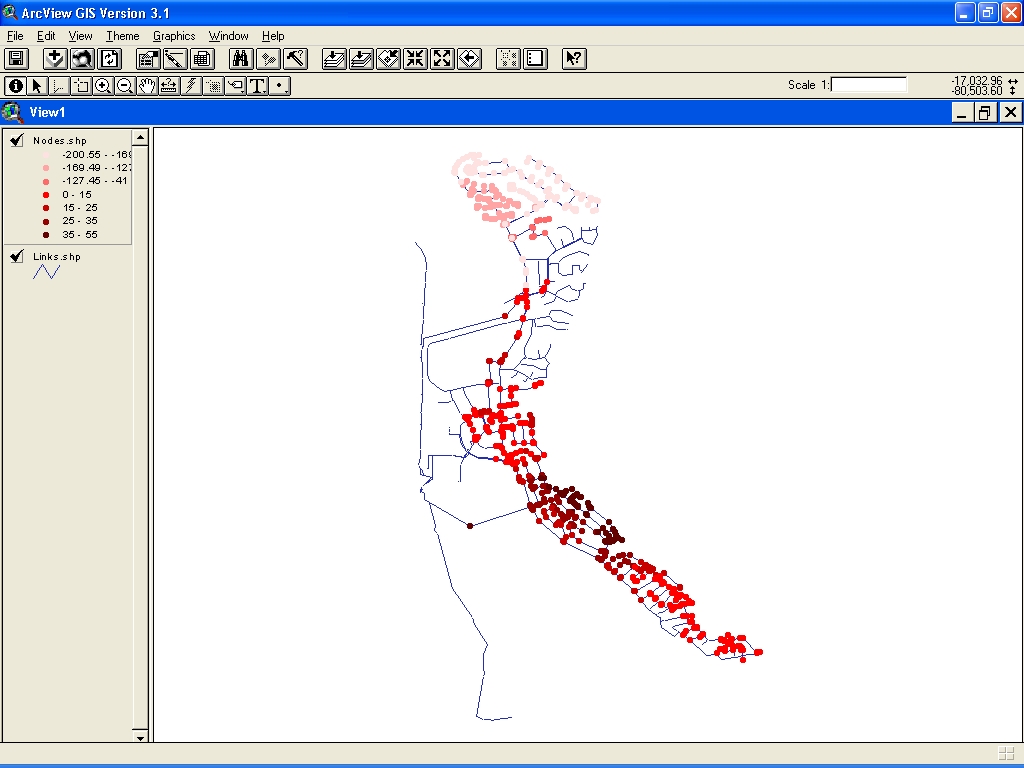
Colour coding water
model in GIS

Colour coding
network by diameter (links) and demand (nodes)

Pressure results
colour coded in the Water module

Checking network
model for connectivity

EPANet model of the
Civil Suite water network

