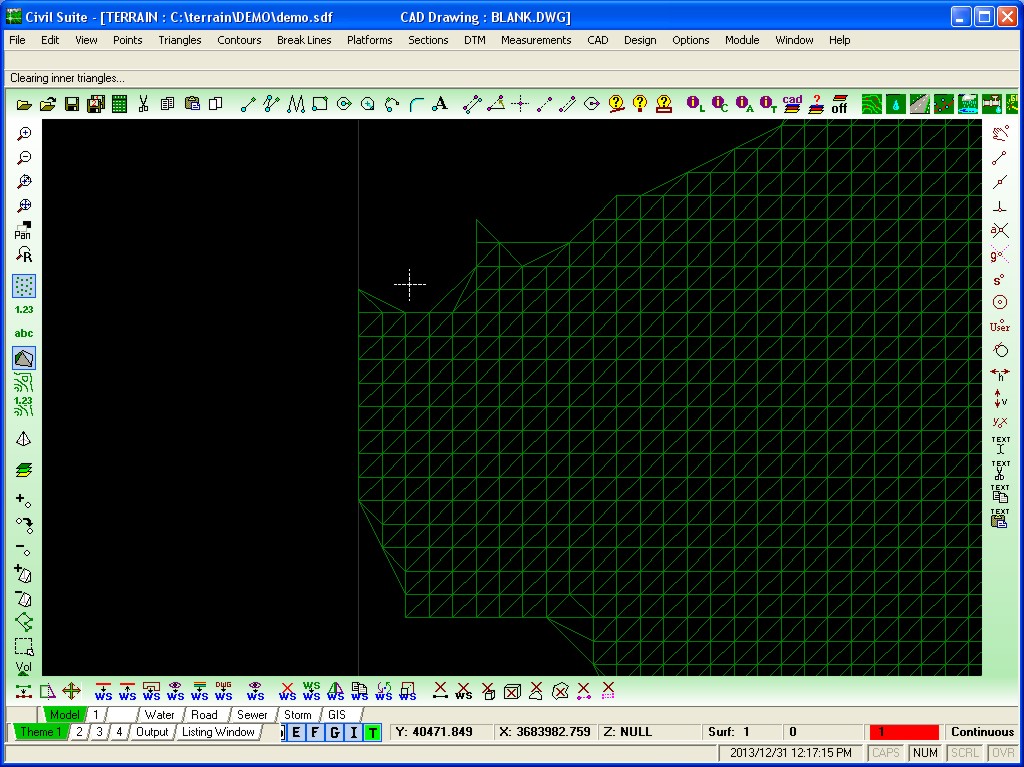
These
sample
images show just some of the features of the Civil Suite engineering
design software package. The modules in the Civil Suite include the
terrain, road, sewer, water, stormwater, pipeline, CAD, GIS and photo
modeller modules. Please use the arrows at the left and right of the
screen images to navigate through the samples provided.
The Terrain module is able to comfortably handle up to 22 million
points and is the core module within the CIVIL SUITE. The Water, Sewer
and Roads modules derive their levels from the surfaces in the Terrain
module. Up to 10 individual surfaces can be modelled simultaneously.
The Terrain module also does the contouring and volume calculations for
cut / fill operations, platforms etc. The program is also able to
import data from our competitor's systems thereby creating
compatibility within the design office. Imagine the usefulness of your
CAD standard working directly with your Terrain / Design packages
without the need to convert your drawings beforehand. The built-in DWG
CAD editor offers the user all the basic CAD manipulation functions as
well as providing imaging support as well.
The software suite comprises the following modules: CAD, Terrain, Road,
Sewer, Water, Stormwater and GIS. Essentially the software has been
developed in South Africa for our local conditions. It is built around
an engine capable of reading and writing DWG / DXF drawings natively
and provides the professional civil engineer with a fully integrated
suite of programs from design through to the drafting and final
plotting of the drawings.
A typical example of the ongoing development has been the inclusion of
not only the GIS data capture tools for sewerage data capture, but also
the modeling and master planning of sewerage networks from this data
using the EPA SWMM engine for flow routing purposes. The software has
been used extensively for data capture by Ninham Shand Consulting
Engineers for the Nelson Mandela Bay Municipality (Port Elizabeth)
where the GIS sewerage models currently cover some 2600km of pipelines
varying in size from 110mm to 2000mm in diameter. In addition, the
software has also been customized to allow for condition assessments to
aid in infrastructure maintenance. While this GIS module is
comprehensive in itself, it only gives typical usage of approximately
5% of the Civil Suite’s capabilities.
We have also recently added extensive support for Arcview Shape Files
and Aerial photography in most of the popular formats (MrSID, GeoTiff
and ECW). Another useful addition has been the ability to now model
much larger data sets from a terrain modeling point of view. With LIDAR
imagery becoming more popular, we have seen a tremendous increase in
the number of modeling points and had to recently amend portions of our
code to cater for these massive data models. (20 million points and
their associated triangles.)
For
more information please also download the videos of the Civil Suite
Terrain module in action. Alternatively,
for an interactive online demonstration please contact us and we will
schedule a WebEx demonstration when convenient.